Wednesday, April 07, 2021

Serbia!

April 7, 2021


"Advice? I don’t have advice. Stop aspiring and start writing. If you’re writing, you’re a writer. Write like you’re a goddamn death row inmate and the governor is out of the country and there’s no chance for a pardon. Write like you’re clinging to the edge of a cliff, white knuckles, on your last breath, and you’ve got just one last thing to say, like you’re a bird flying over us and you can see everything, and please, for God’s sake, tell us something that will save us from ourselves. Take a deep breath and tell us your deepest, darkest secret, so we can wipe our brow and know that we’re not alone. Write like you have a message from the king. Or don’t. Who knows, maybe you’re one of the lucky ones who doesn’t have to.” 

 ~ Alan Watts


When did I last send a newsletter - October??!! I’m pretty sure the internet is broken. I’m searching for a scapegoat as I write this…


I’ll save my allotted “reader attention span” for the many photos posted below. But to almost-not-really update you since I last wrote, I present:


Statistics since my last newsletter on October 5, 2020:


184: days since I’ve posted (checking my math, it seems impossible)

32: different places I’ve slept

36: longest hotel stay, Zagreb, Croatia

12: average hotel stay in days

75: days in hotels with a spa (losing all my “traveler” cred...)

6: borders I’ve crossed (Italy - Slovenia - Italy - Slovenia - Italy - Croatia - Serbia)

4: shortest visit to a country, in hours (Slovenia)

1: times escorted out of a country by the police (that’s a story)

4: PCR tests for COVID

1: vaccination! (AstraZeneca, in Serbia)

lots: hikes I’ve done

0: borders that are open to me driving now (I think)

9.9: embarrassment level that I haven’t posted for so long


Enjoy the photos.


My first stop in the far north of Serbia was Novi Sad, the European Capital of Culture for 2021.


The old city is magic.


It’s a big city, like 500,000 people, and mostly not so interesting, but the center is great. 


Serbia isn’t rich, the per capita GDP is about half of Croatia’s, but it definitely has a culture of cafes and dining out. 


This is a Catholic church, though the country is 85% Serbian Orthodox (Christian) and only 5% Catholic.


On a long city hike.


Oh, that makes it easy to navigate. Going to Corporal Kamenahua, (sounds Hawaiian,) turn right. Pyma, go straight, or maybe it’s also right. Come on, how hard could it be? Wonder what Beorpaa is. 


A famous river, though it’s not blue and I don’t see people waltzing. It’s the Danube!! Just imagine how important these mighty rivers were historically. They were the first interstate highways. Across the river is the massive Petrovardin Fortress. Ruins of a Paleolithic settlement were found there that are 20,000 years old. Wait wut? Twenty THOUSAND years old. If you’re into that kind of stuff. I am SO into that kind of stuff! 


Oh, cool, a creepy little trash-strewn tunnel-place with a low entry! These scary places draw me in like a magnet. I have no idea what I’ll find, but at the last door I came across a makeshift bed and a little dog sleeping. Dang it, he heard me and came charging! Fortunately he just wanted to scare me and didn’t chase me for long. Good job, buddy.


This clock at the top of the fortress is famous for having the clock hands reversed - the long hand is hours and the short hand is minutes.


Massive walls and ditches and what you can’t see, an incredible 16 km, or 10 miles of underground tunnels. I had no idea why, until I read later that it’s to keep the enemies from tunneling into your fort as a method of attack. The tunnels are called counter-mines, and the attackers who tunnel into them are called sappers. en.wikipedia.org/wiki/Tunnel_warfare


You wouldn’t know that Serbia has been having high coronavirus infection. But from what I’ve read, very few people get infected outdoors, or by physical contact. It’s almost exclusively transmitted indoors, from sharing recycled air. Does that mean I’m right? Only maybe.


One of the entryways from outside the walls to the inner fort area.


There were pillars of another bridge just near this one. I found out the other bridge was bombed by NATO in 1999. Photo here.


The amount of history in Serbia is mind-boggling. For example, 18 Roman emperors were born in Serbia, and Serbia was part of the Roman Empire for 600 years.


On a little road trip to visit a monastery, I saw this still-under-construction Orthodox church. It reminds me of a dollhouse.


The next few photos are inside the spectacular KruĊĦedol Monastery, founded in 1509.


And this massive church/temple in Belgrade is the Temple of Saint Sava. It’s been under construction for years, but only recently opened to visitors.


It’s inspired by the Hagia Sophia in Istanbul, which is currently an Islamic mosque, while it had been an Eastern Orthodox church, and was the world’s largest cathedral for almost 1,000 years. 


The lower floor of Saint Sava. Incredibly elaborate and ornate artwork!


A bakery.


Walking through Belgrade.


Oh, that guy’s famous. That’s why they built a massive statue of him. Yeah, I forget his name.


The lovely Julieta came for a visit from Germany, and we stayed in the suburbs of Belgrade, just a stone’s throw from this landmark, the Tower of Gardos.


Our apartment near the tower. Shmancy.


A religious shop.


A restaurant cafe just next to the Tower. A few days later all the restaurants and cafes were shut down for Covid. But Belgrade is famous for its food, and they have an amazing network of restaurants which deliver through an app that translates the menu. 


This is Buddha Bar, Belgrade. Does that ring a bell? Famous groovy music compilations back in the 90’s, I think? It was started with a restaurant in Paris, and made uber-groovy music compilations.


My cousin Adam, on the left, has been filming a fantasy TV series in Belgrade. And the hot chiquita? Julieta, who would never be called the Argentinian Aggravator. I would never say that, publicly.


Oh, that is my kind of museum, cuz I’m livin’ for the selfies. I’m kind of a master at them. Check me out, but don’t hate me because I’m accurate.


Julieta and I headed north a couple hours drive to Subotica, just near the border to Hungary. It’s famous for a burst of art nouveau architecture between around 1890 and 1915. 


Some artwork is fancier than others.


This is near my current hotel in Belgrade.


And… YES! After being convinced that no one would give me a Covid vaccination, Serbia surprised me. I’m delighted. But it means I need to leave the country and come back in 12 weeks to get the second shot. I’m not allowed to stay that long on my tourist visa. Where should I go??


I was incredibly impressed by how efficient the whole system was, from the online registration to the in-person verification, kind and friendly people, and Bam-Zoom it was over.


They said to wait 10 minutes in this area to make sure you don’t faint after the shot. I thought about it! But I haven’t had any side effects other than a sore arm.


Another giant fortress in Belgrade, this one at the confluence of the Sava and Danube rivers.


Two weeks ago, spring is here! Last night - it snowed.


There’s a long, beautiful pedestrian way in Belgrade, filled with shops and cafes. San Francisco has been talking about that, and not making it happen, for years. When you visit a place where they’ve implemented it so well, it seems a really obvious choice!


A bookstore.


Live music and maintaining social distance. Kinda sorta.


(The End)

Monday, October 05, 2020

Rifugio Galassi hike, Dolomites, Italy

October 5, 2020

"In daily life we must see that it is not happiness that makes us grateful, but gratefulness that makes us happy. It is necessary, then, to cultivate the habit of being grateful for every good thing that comes to you, and to give thanks continuously. And because all things have contributed to your advancement, you should include all things in your gratitude.''
~ Wallace D. Wattles


Sometimes I don't blog because it seems like nothing's happening. But lately the problem is that I'm seeing too many beautiful things, and I take so many photos that I really want to present them well with an accompanying story, but my foundational laziness is still laying in the path, blocking my way. It's been raining recently, so I've lost my excuse for not posting. If I didn't grow up in California I'd probably be walking anyway. But I did grow up in California! I've been making jokes about this for years. At a music festival in France some English people were standing in the rain talking like it wasn't even raining, the crazy buggers! I said, in California when the first drops of rain come, we sprint for cover, like we're witches in danger of melting. Anyway, I'm a bit of a sissy boy when it comes to weather. Then when the weather is good I go for a long walk everyday and I'm too tired at the end of the day to post about my hikes. Which brings us to today: It's raining, so I'm posting. Tomorrow, it's not raining, so I'm hiking.


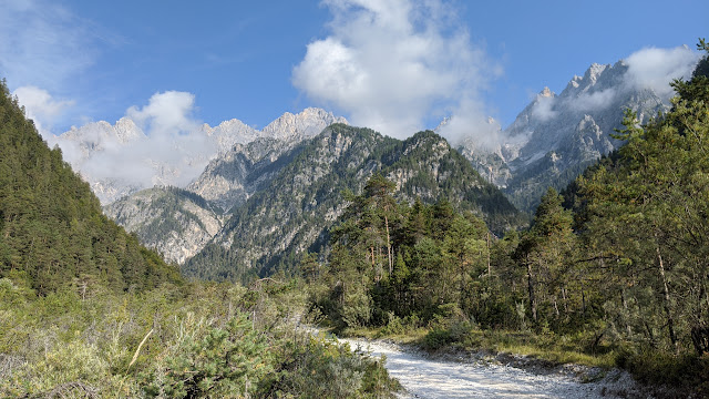
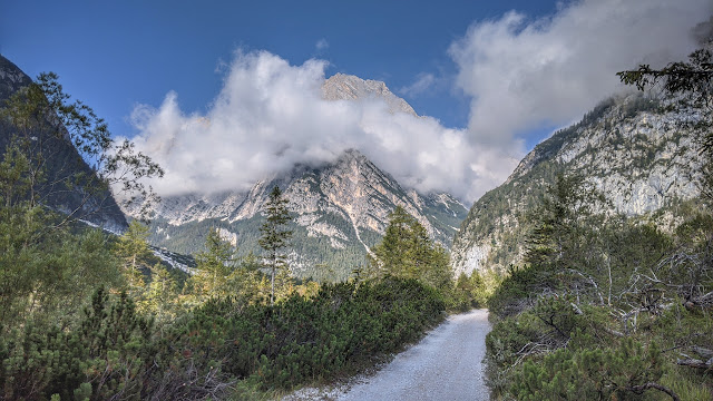
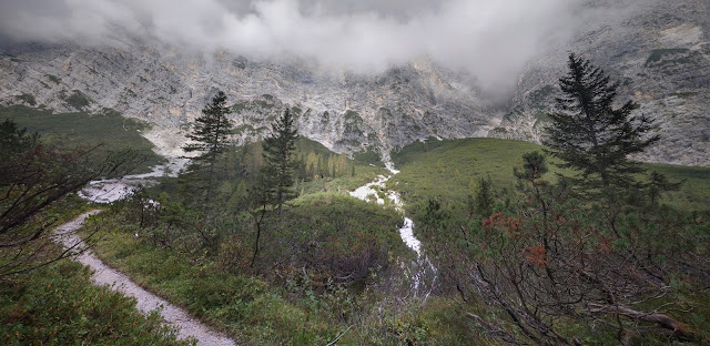
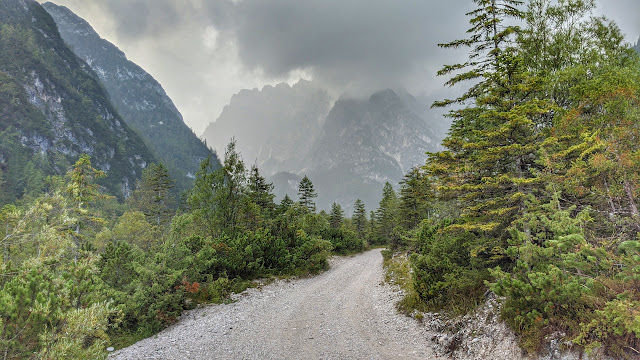
This hike was from a couple weeks ago, before it got cold and started snowing. The path starts down this gravel road through the glacial valley, meaning it was originally formed by glaciers. So much rock and debris has collapsed from the mountains into the valley that the rounded shape is not as apparent as it otherwise might be. It looks different from up higher, as you'll see.


It was only about an hour and a half walk on this relatively flat road, but paths like this are a little boring compared to, say, a meandering hike through a forest or working your way up into the mountains. I had a mini flashback to 1992, when I went to Tibet on my own towards the end of a two year trip, a one-time-only adventure, never to be repeated, I was sure. An adventurous Dutch guy and I decided to make our way to Everest Base camp on the Chinese side. We took a public bus to mile number 138 or something, got off the bus and started walking up this pass that reached an elevation of 5,200 meters, 17,000 feet, spending a night in a little village, where the kids were picking lice out of each other's hair and squashing them between their fingernails. And for the next three days we walked down a long, relatively boring valley until we got to Rongbuk Monastery, supposedly the highest monastery in the world at 5,000 meters, 16,500 feet. Three days is a lot longer than one and a half hours, but it reminded me just the same. (Am I just name-dropping or was that actually relevant?! You can decide.)


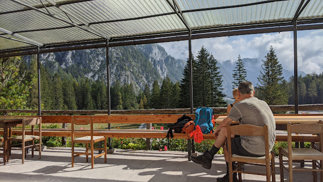
A rifugio! How much do I love these places. I had a cappuccino and a nice apple strudel. It's a ridiculous luxury, one which I'd like to become accustomed to.


Now the hike starts to get a little more serious, climbing steadily and steeply up, with sheer rock walls on either side of the narrowing valley.


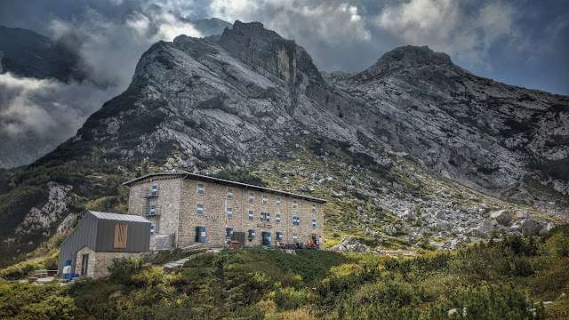
This is Refugio Galassi, a former military fort that was converted to a rifugio in 1931 or something. During the summer and winter seasons, you can spend the night there and eat delicious Italian food. Hello!!


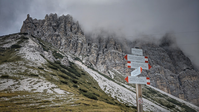
I'd love to see a collage of every collection of signposts like this one in the Dolomites. They really are just everywhere, because the trails are everywhere. I've tried using a paper map to navigate but I'm seriously hopeless, embarrassingly so. (Bring a paper map as a backup, says everyone. That sounds a good idea - one day I'll try it.) So I use an app on my phone that has an accurate hiking map along with a GPS and a route to follow. One of these days, Alice, I'm going to drop my phone, lose my hiking app and my way, and wander in circles until I can wander no more. Forgive me in advance, as I like to say.


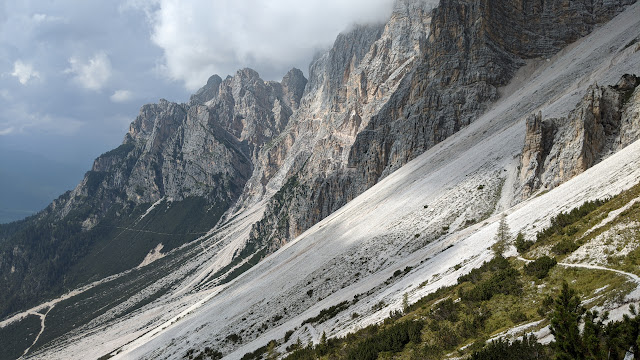
Oh, I like this photo. This was about the highest and farthest point that I went on this walk, but you can see another trail on the lower right. If you squint you might be able to tell that it goes horizontally across that scree.


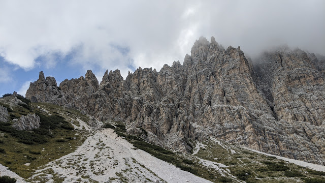
This is from more or less the same place, just looking uphill at the towering mountains.


The rocks are so incredibly rugged and picturesque here.


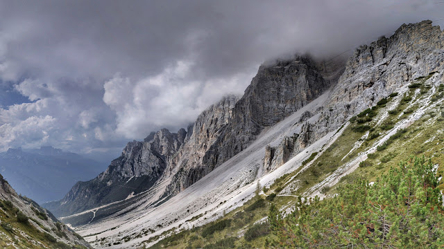
Here's a wider view of that same valley.


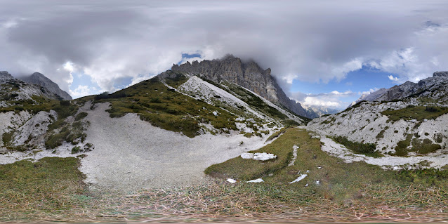
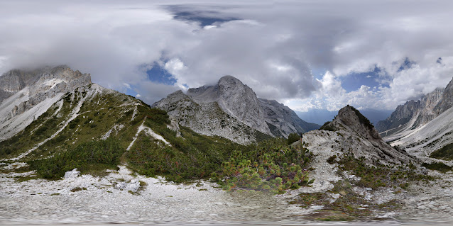
This is a 360 photo. Click this link to see it in 360 mode: https://maps.app.goo.gl/FdctaFn25dZPn7CPA


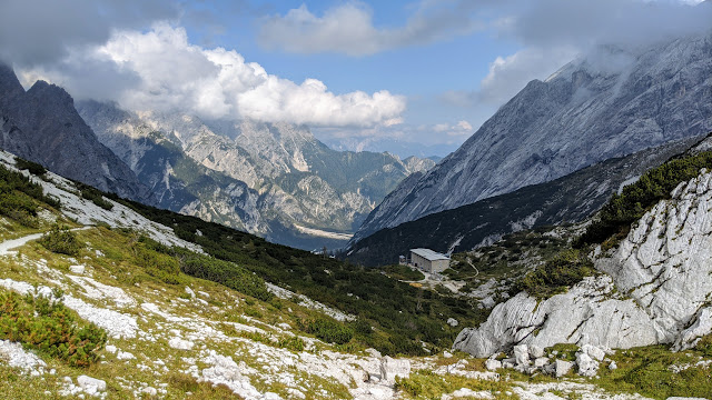
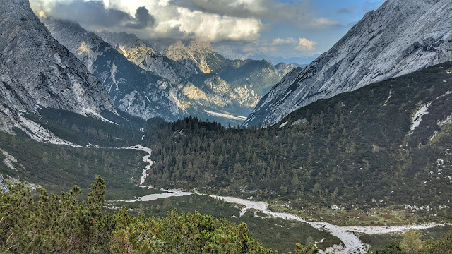
Turning around and coming back over the pass, you can see Refugio Galassi in the lower right. The hike had started at the bottom of the valley in the distance and around the corner a bit.


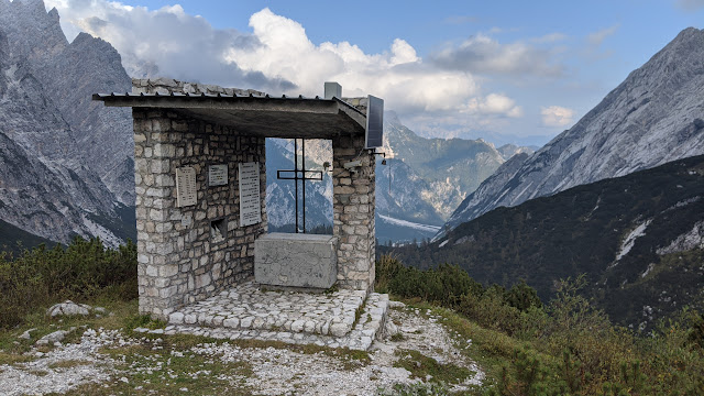
This cross is just near the rifugio, overlooking the valley. There are two live webcams on that structure, one pointing over the valley and one pointing back to the rifugio.


Another 360 photo. Click this link: https://maps.app.goo.gl/4i8skyajTRCqErpE7


Coming back, maybe halfway down the mountain.


Back to the "Tibetan Road" - that'll be our little secret. (What's he yammering about?) I just barely missed getting clobbered by a rainstorm, coming the same direction I was walking.


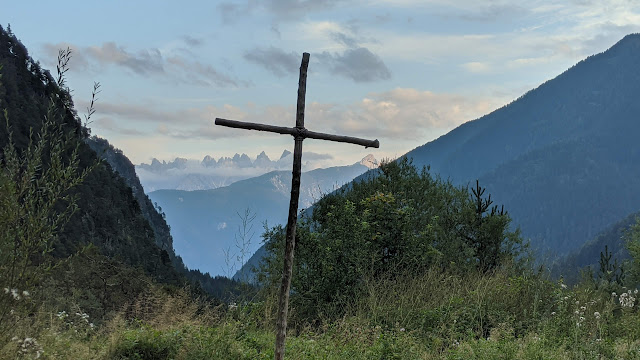
Almost back when I saw this wooden cross. I didn't know it at the time, but after a meal at a rifugio, and I wasn't sure it was a good idea, (as usual,) but I drove about a kilometer up a steep and rocky road and spent the night parked right next to this cross. I have some nice photos from the next day's walk too!


(The End)
Sunday, October 04, 2020

Val Fiscalina hike on a snowy day, Dolomites, Italy

Val Fiscalina hike on a snowy day, Dolomites, Italy


October 4, 2020


"Traveling is a brutality. It forces you to trust strangers and to lose sight of all that familiar comfort of home and friends. You are constantly off balance. Nothing is yours except the essential things – air, sleep, dreams, the sea, the sky – all things tending towards the eternal or what we imagine of it."

 ~ Cesare Pavese


This is the third time that I've done this spectacular hike in the Dolomites. The first time was October 12, 2015, memorable because it's my brother Mike's birthday, and it just happened to be the last hike of that year. As it turned out, it was also Mike's last birthday. Three months prior, I had surgery in San Francisco for colon cancer. Two weeks later my brother had his fourth brain tumor surgery. A week after that I left for Europe and surprisingly quickly had recovered enough to go hiking in the Dolomites. Mike wasn't as lucky, though we didn't know at that time how bad it was. A month after this hike, he was gone. 


In 2017, I hiked this trail with Julieta, a couple days after a big snowstorm, but we didn't know what we were getting into. There was no snow at the start of the trail, but there was plenty up higher, both snow and ice. I missed a turn, and by the time we corrected for it we didn't have time to get back to the van before dark. So we spent the night in one of the big rifugios, (mountain lodge,) and walked back the next day. It was a lot more dramatic than this paragraph indicates!

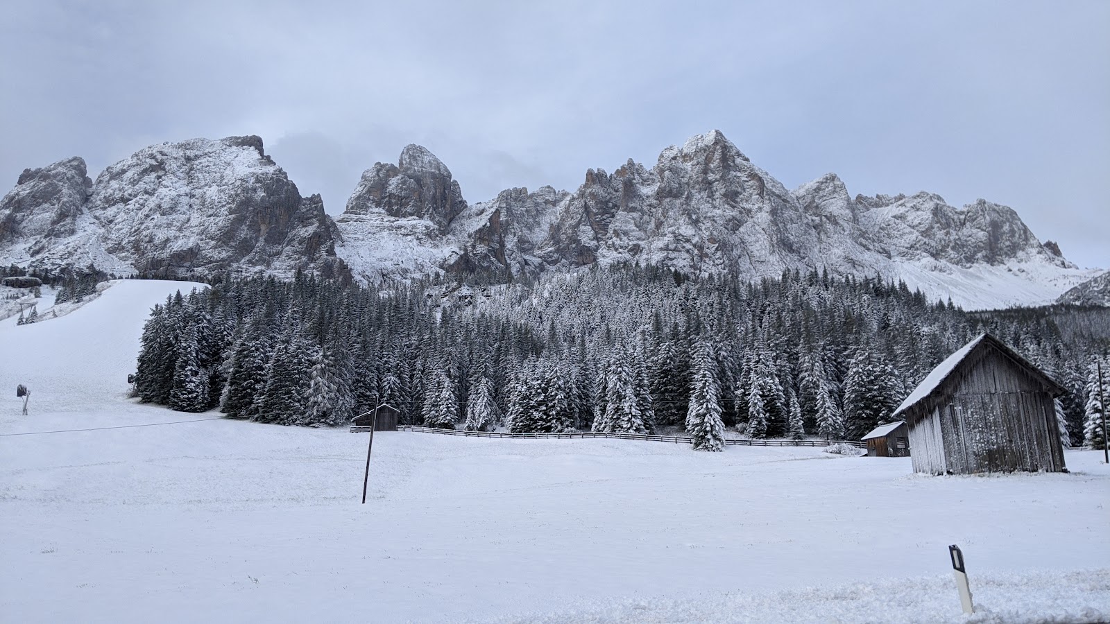
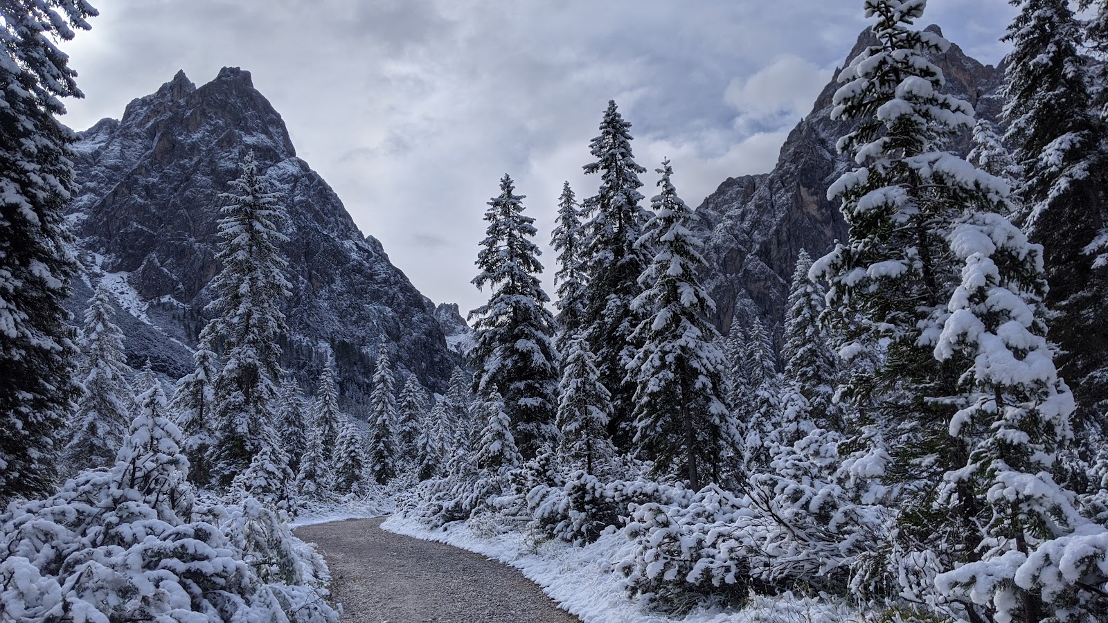
Forward to this year. I saw that there was snow in the forecast, but it wasn't clear how much. I spent the night in the van, but comfortably enough with my new IKEA comforter, and as I drove to the start of the hike I saw this scene:


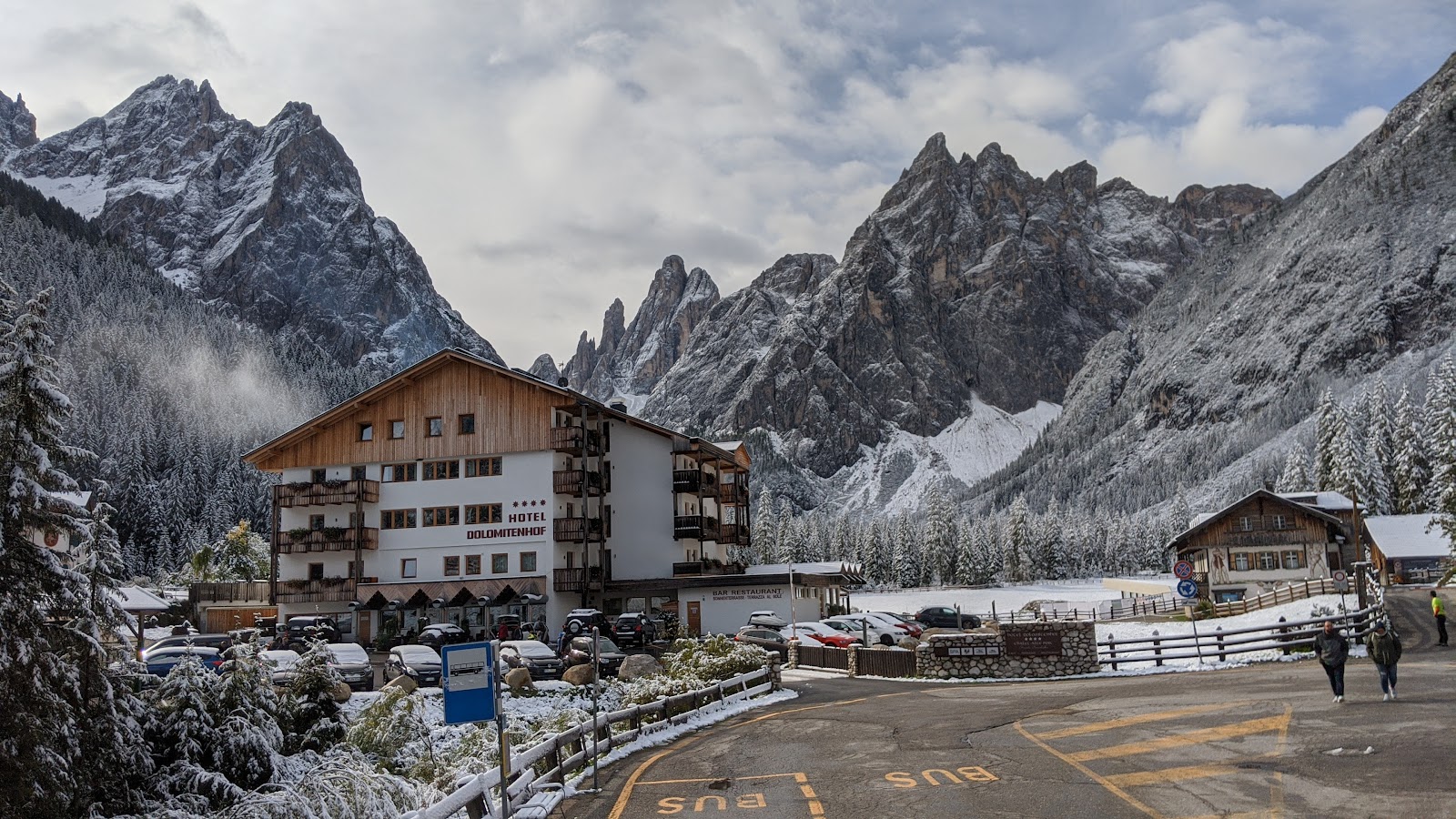
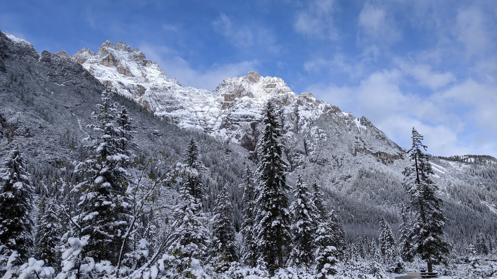
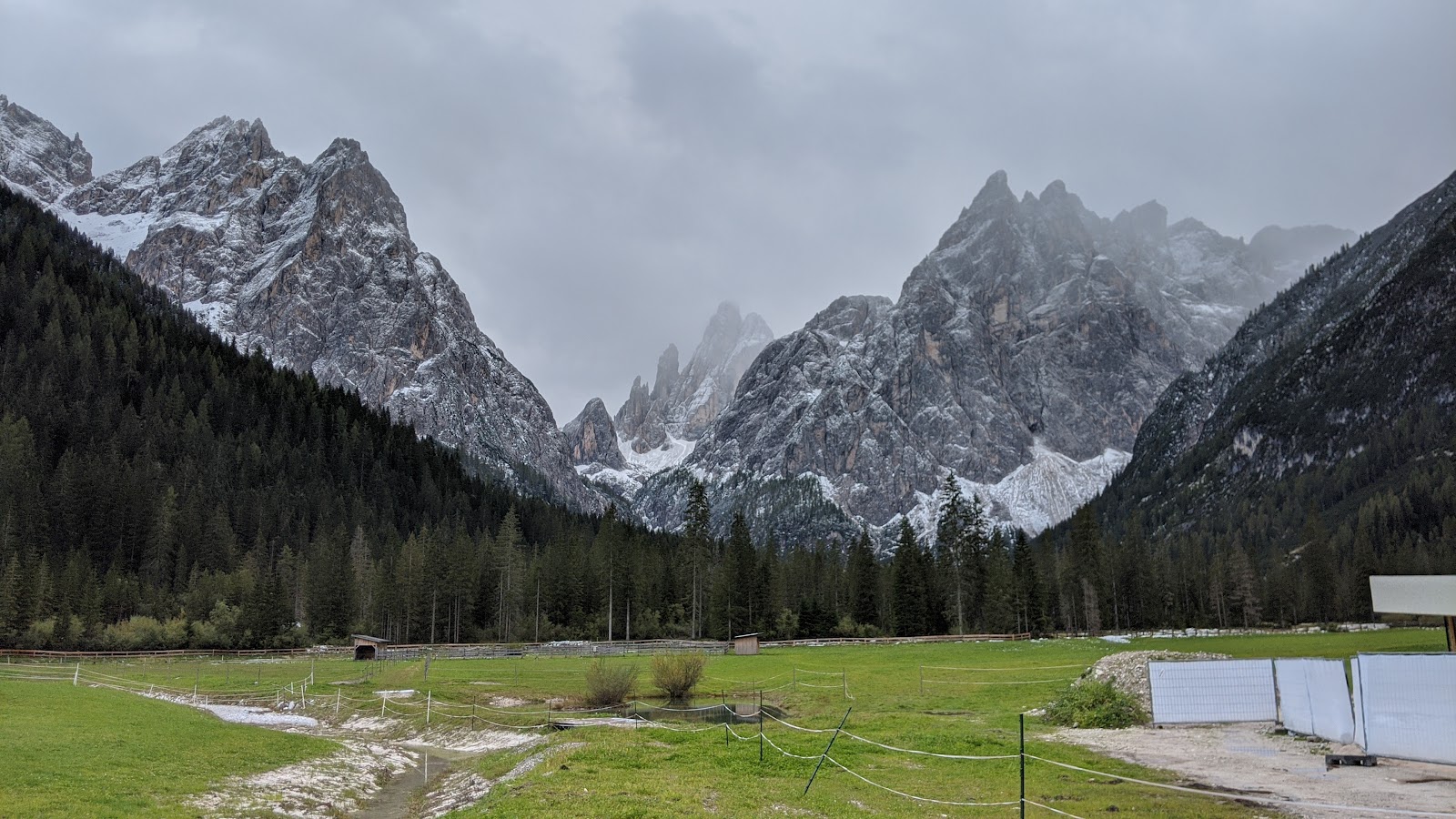
It seemed kind of ridiculous to hike in this kind of snow, I'm not really equipped for it and if I get on a trail that someone hasn't been on before, I won't be able to see where the path goes. As I got to the parking area I saw quite a few cars, and that gave me encouragement to at least start the walk. I thought, I can come back if it gets too tough. This photo is taken from the parking lot.


How many times have I really hiked in the snow? Uh, I think once - and I got lost and had to spend the night up there!


The path starts quite gently up to the first junction.


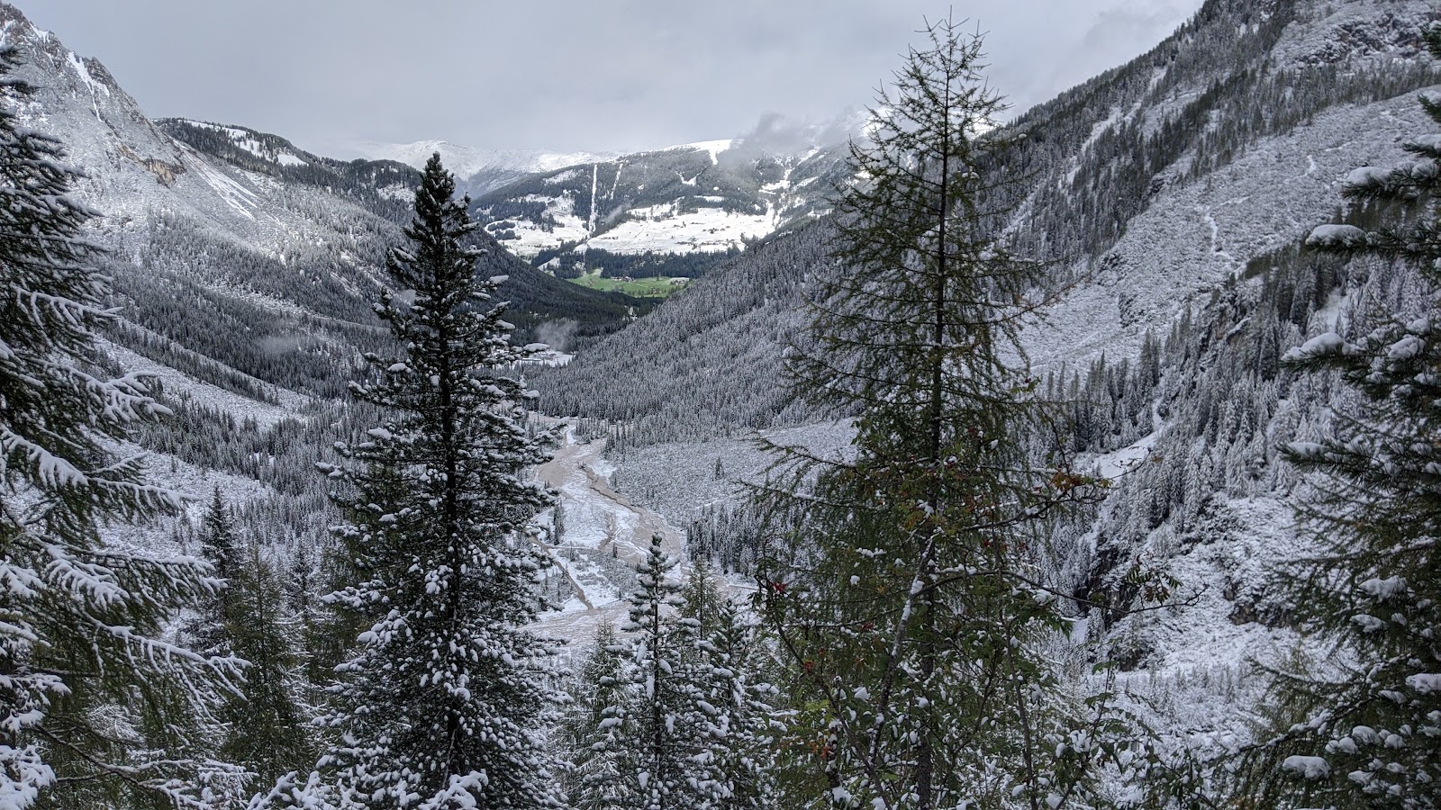
This is looking back down the valley, the direction I'd come.


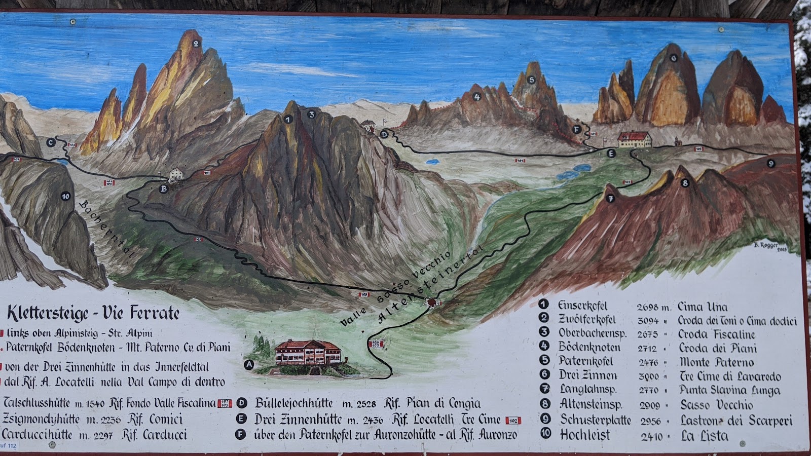
This guide board is a painted view of the hike. It starts down at the bottom in the center of the photo, and then you climb a lot around that first peak to the left, then veer towards the right and go horizontally until you get to the rifugio, which you'll see, then you come back down so you've done a big loop.


This is also looking back down the valley the way I'd come. That green field that you can see in the center of the photo? When everything else is covered with snow and it's getting quite cold, it looked like a little bit of Hawaii there. I imagined people laying out in the sun drinking fruity cocktails. 


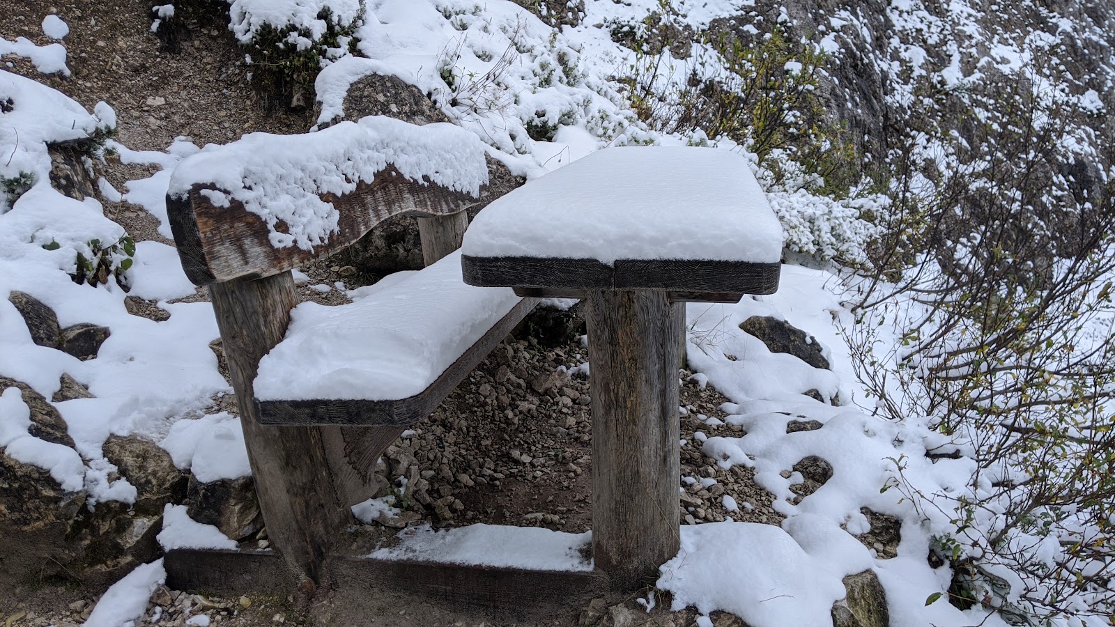
This is a nice place to take a break, if you're a Labrador Retriever. Our family dog used to sleep on a picnic table with that much snow on it when we lived in Chicago when I was a kid.


I zigged. Then I zagged. Many times.


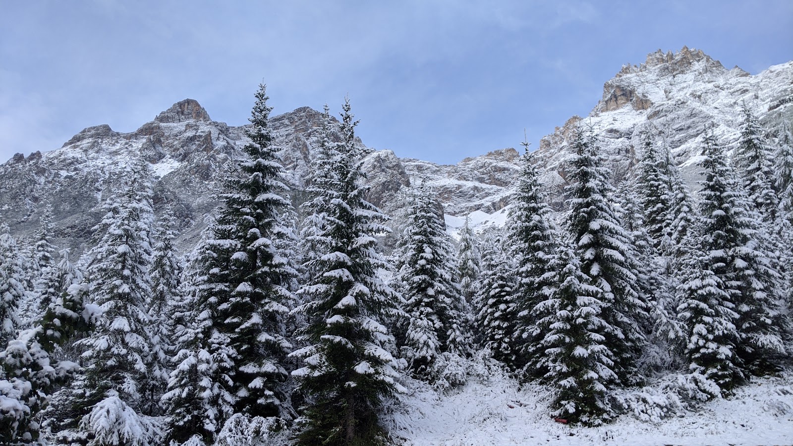
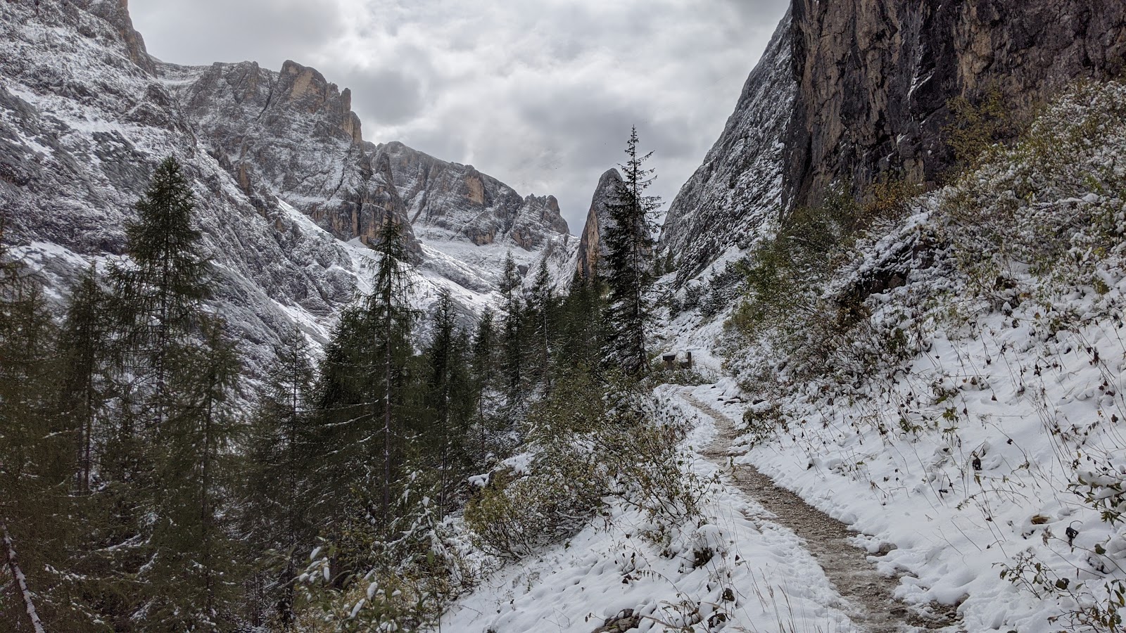
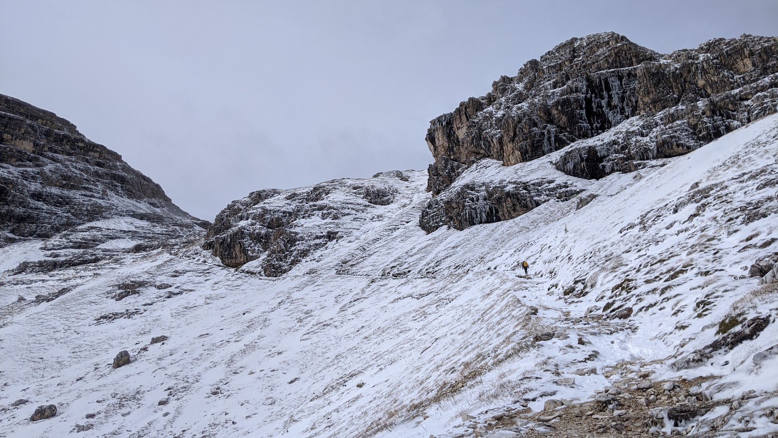
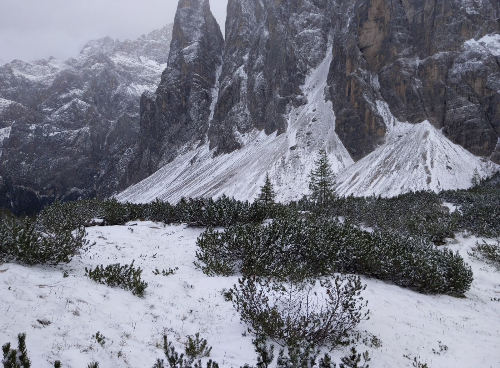
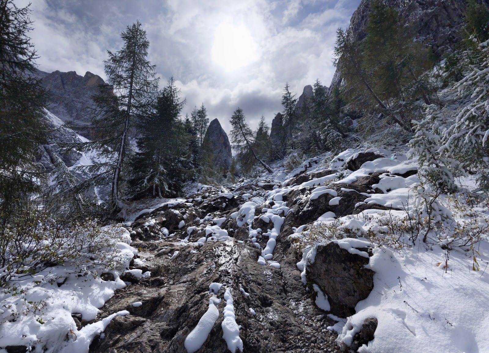
The snow was getting deeper, as you would expect when you go higher. But the trail is for the most part clear. At this point, anyway.


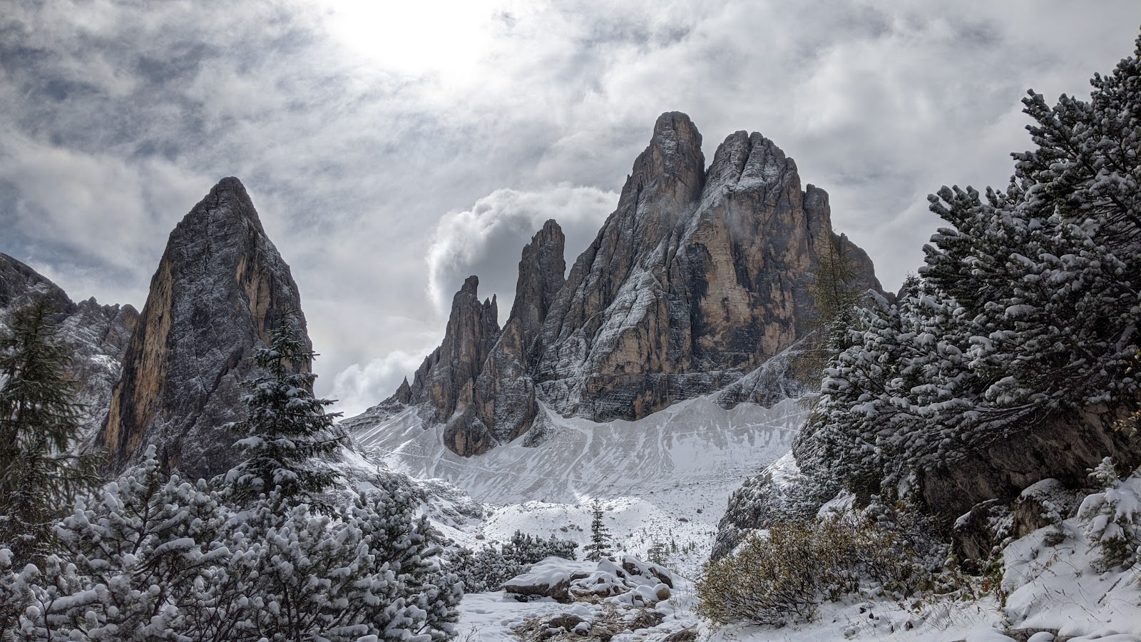
I like how this photo turned out. It's not too much farther to the first rifugio.


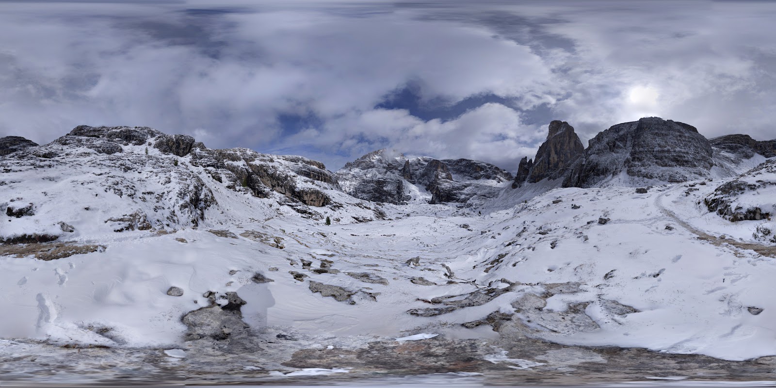
This pic below is a 360 photo. Click on it to see it in 360 mode, (on a computer drag the image with your cursor: 

https://maps.app.goo.gl/6Y2Lnkinn3wchVyt6)


More snow.


The first rifugio. There are countless rifugios in this area. Some of them have steep, rugged roads that get to them, many of them have a cable car system that brings supplies from down in the valley. It's an incredible resource, and really encourages people to get out in nature and hike. They also have a menu of incredibly tasty food, really good prices, and friendly servers. Every time I come here I can't believe what a treat these places are, and how the economics work to support it. It's a national treasure!


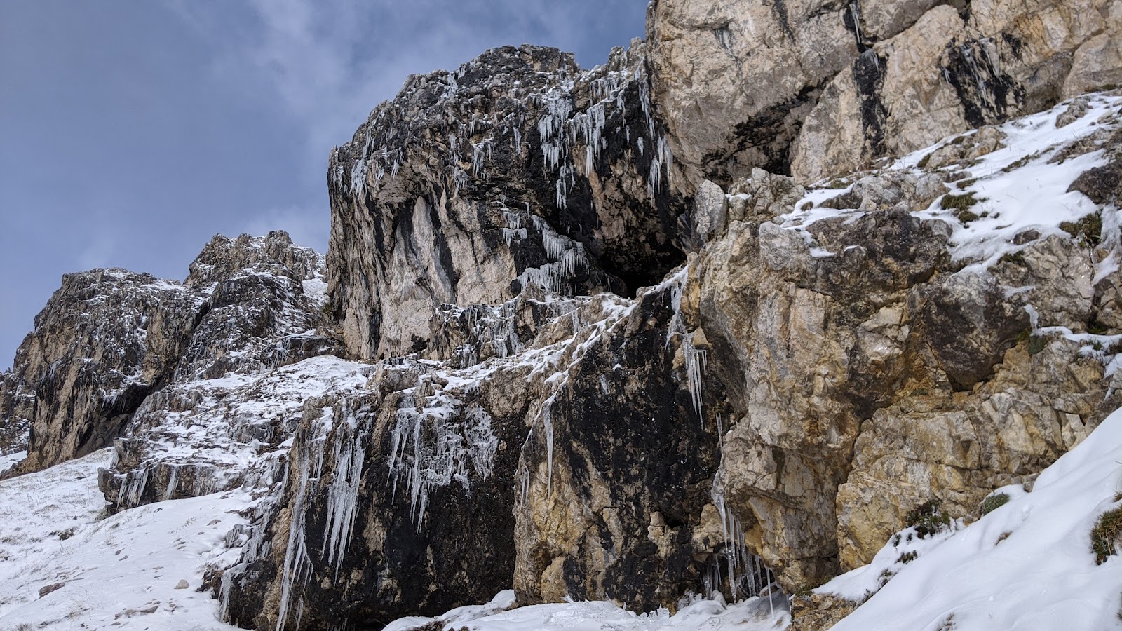
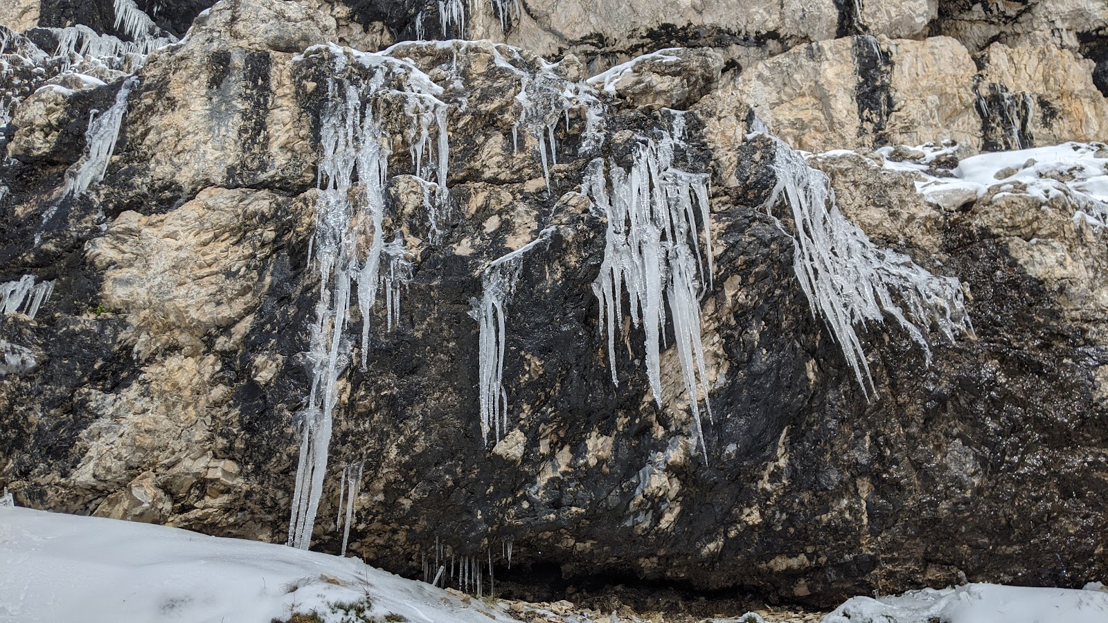
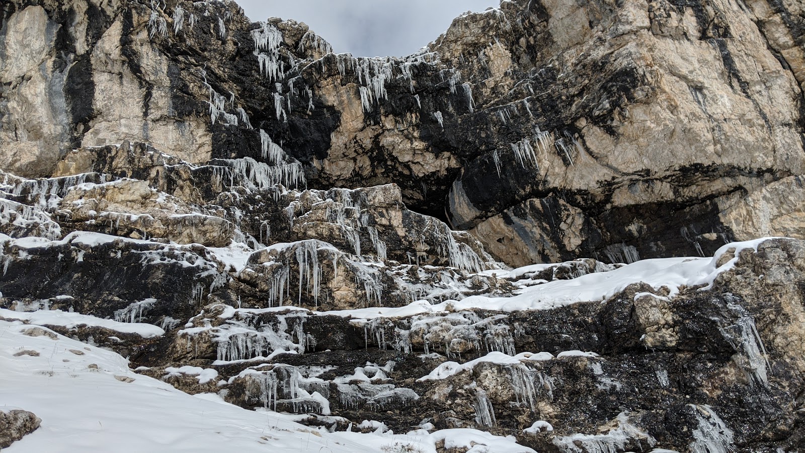
These curtains of icicles were melting and collapsing as I watched.


Beautiful!


If you look carefully in the center right of this photo you'll see the young Belgian woman who I talked to briefly. She was on her own, and walking a very long route. By chance I saw her the next day and she had walked 30 km on this day, 18 miles, with a lot of climbing. On her own, brave young woman!


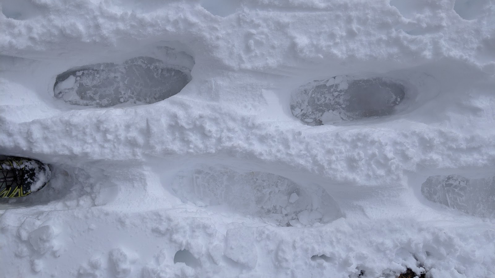
Many people had come this way before me, and these deep holes formed as result of everyone stepping in the same spot. It was awkward to walk through this, but it didn't last long.


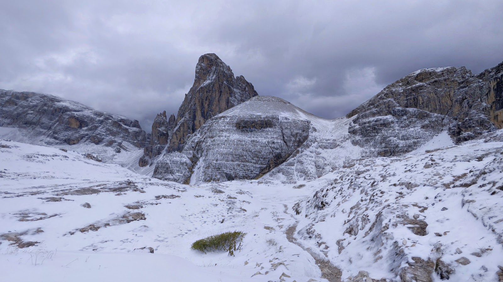
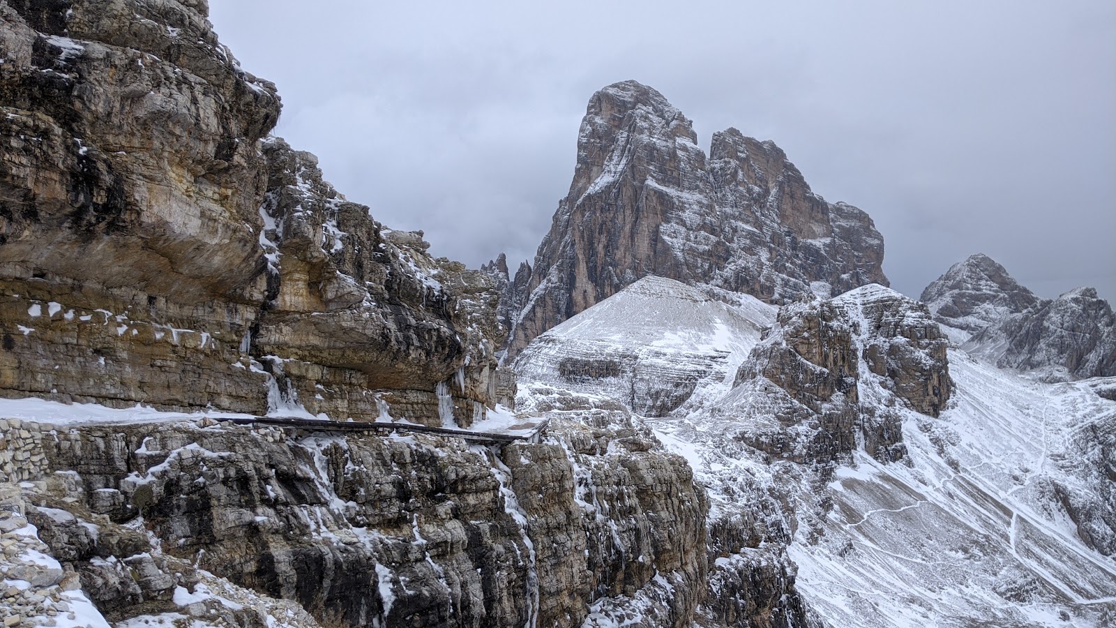
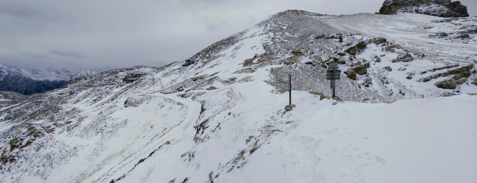
This is the highest point of the walk, so there's the most snow here. You can see a horizontal line to the lower left - that is a World War 1 road that the trail follows for a bit. There are some wooden planks to make it easier to pass.


This photo is the junction that I missed last time with Julieta. We were supposed to climb over the pass to the right but instead I guided us down the trail to the left. We went a long way before we met a young couple coming up over the top of a cliff, clipped on to a cable with harnesses and wearing helmets. They said you were required to have climbing gear to continue that path. Their eyes were as big as saucers when they realized that we intended to go that way! "It's  not possible!" they said. Yeah, ok, oops, my bad. 


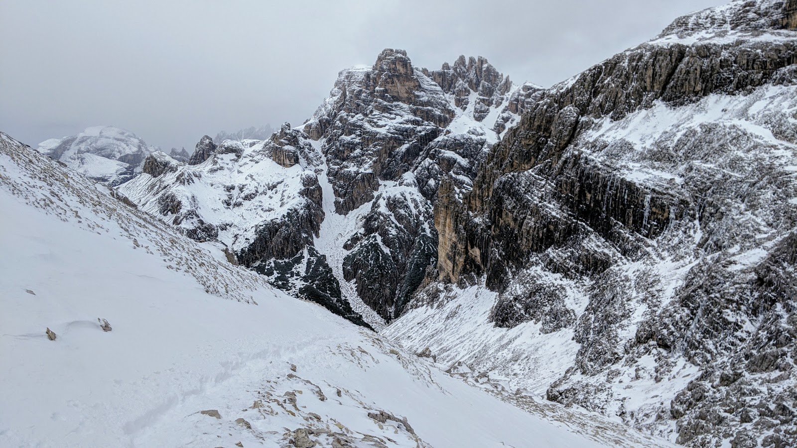
At this point the trail went down steeply, and there was quite a bit of snow and ice. I saw a couple coming up, and as I was about to ask them if it was icy, I slipped and landed really hard on my rear end and back, and my water bottle was right underneath me. It's still sore, a week later. 


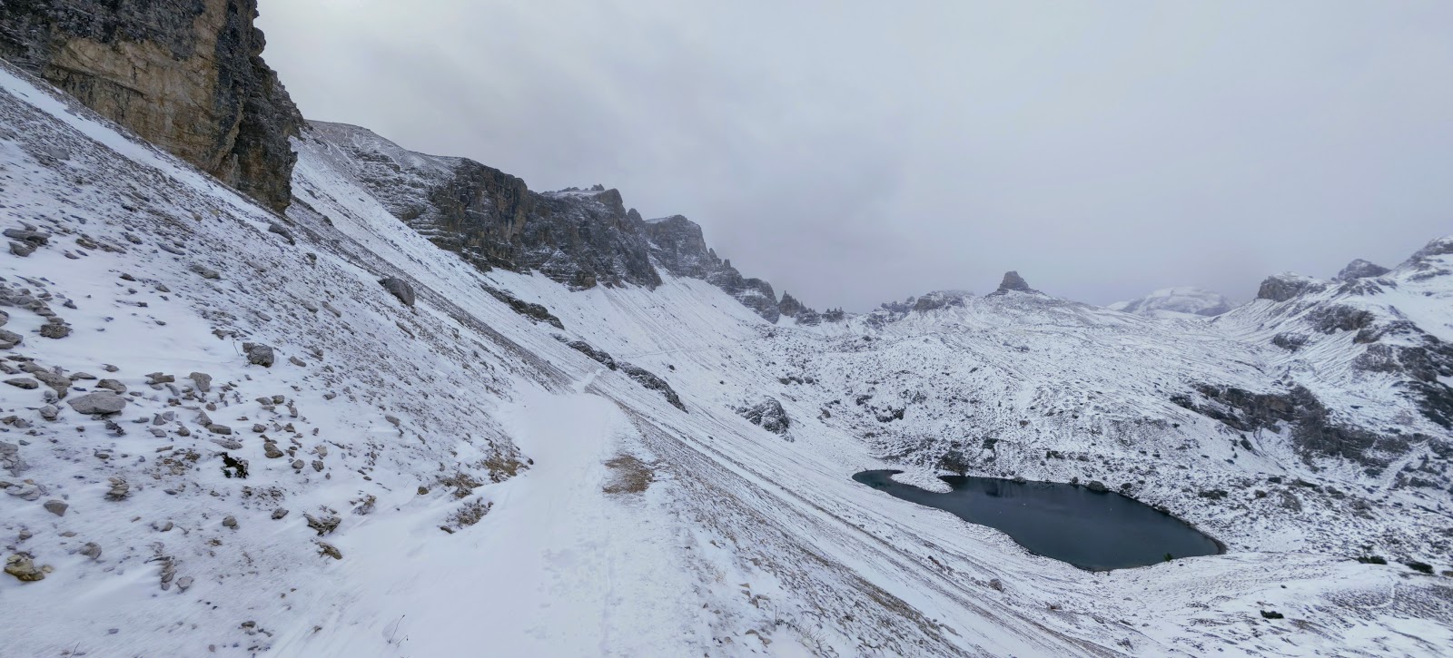
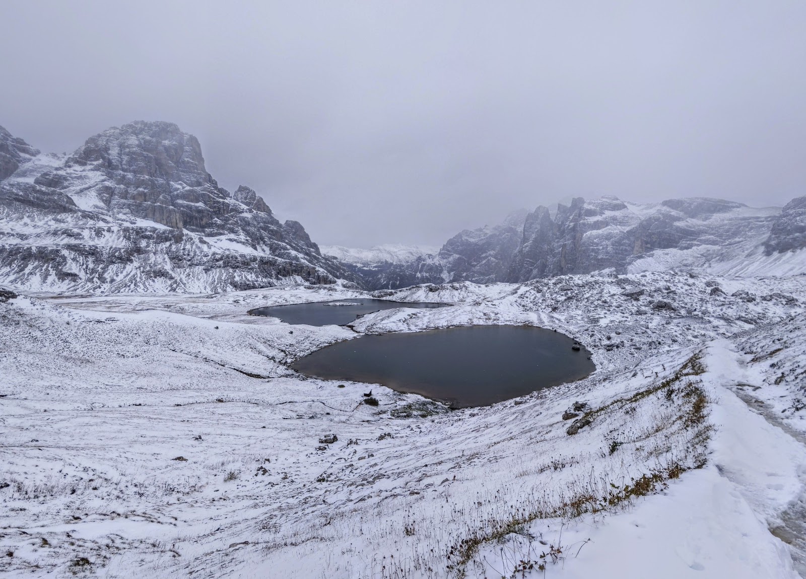
The path goes horizontally under the cliffs to the left, and above the lakes.


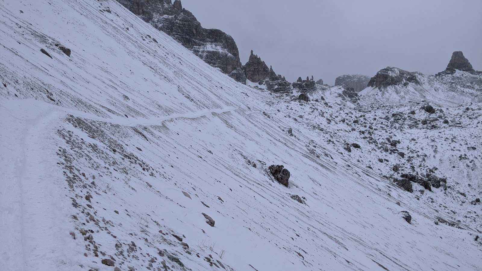
It's pretty darn steep, and feels like if you started sliding it wouldn't be so easy to stop.


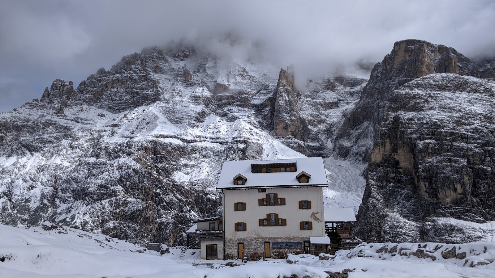
Okay, I'm getting close to Rifugio Locatelli, where Julieta and I had spent the night.


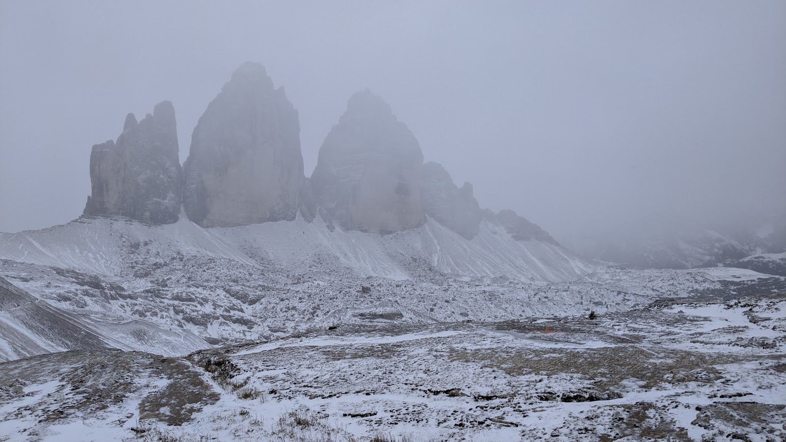
This is Tre Cime, the most photographed piece of rock in the entire Dolomites. Not a fair representation of it when it's foggy.


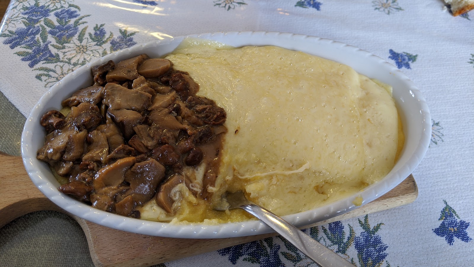
Lunch! Polenta with cheese and mushrooms. Stick to your ribs good, and I think it was around $12? 


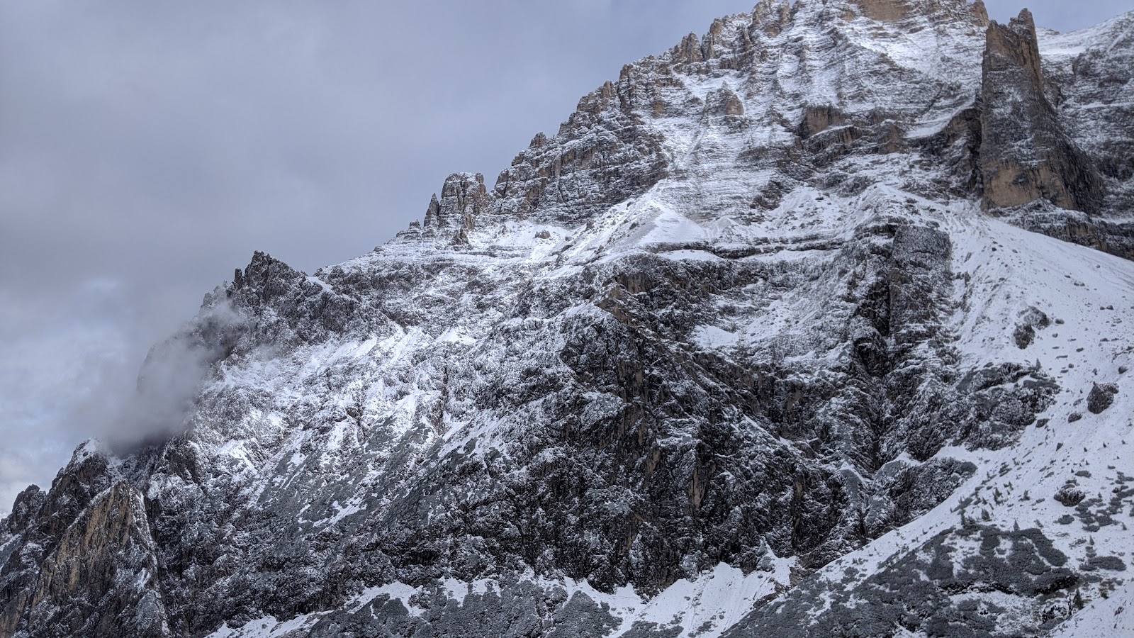
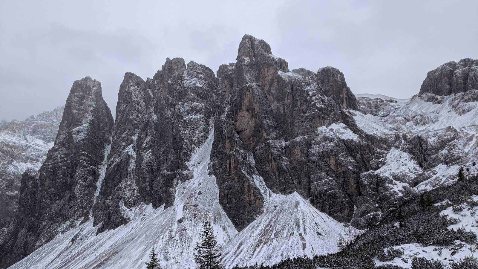
Now I'm walking back down the hill into the valley from the other side. Beautiful rock formations here. And everywhere!


Just near my van, after most of the low-lying snow had melted. I was beat! And I was happy! 


(The End)